WEATHER
Itatiaia-RJ
Today
(24/06)
(24/06)
Abrg. Rebouças
Today
(24/06)
(24/06)
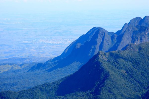
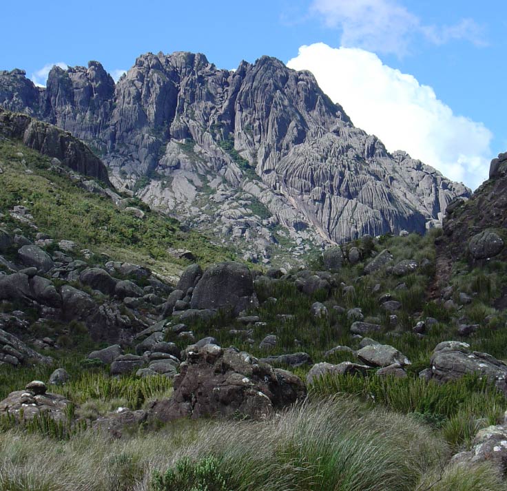
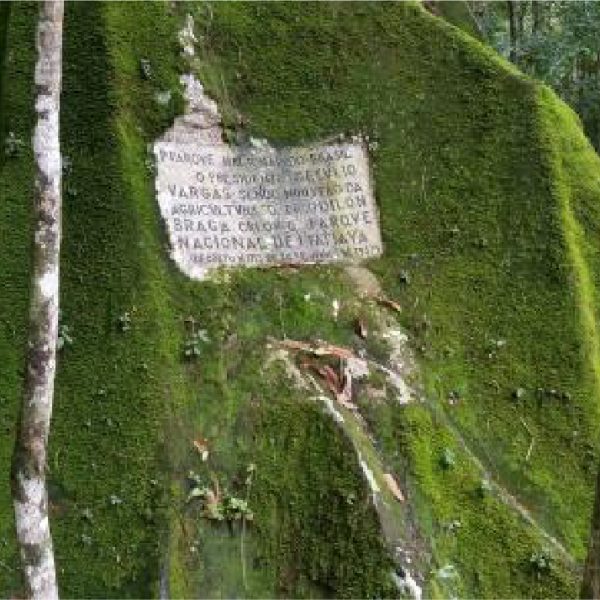
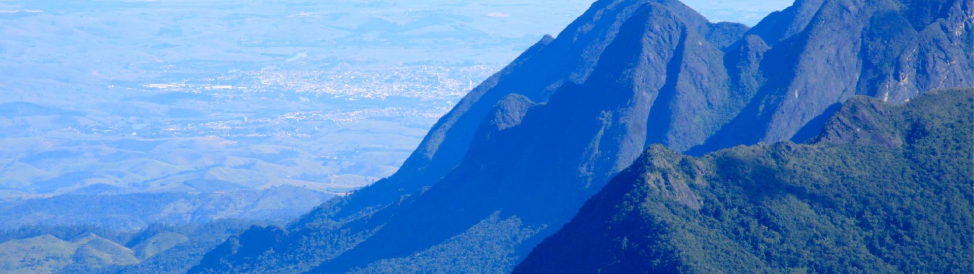
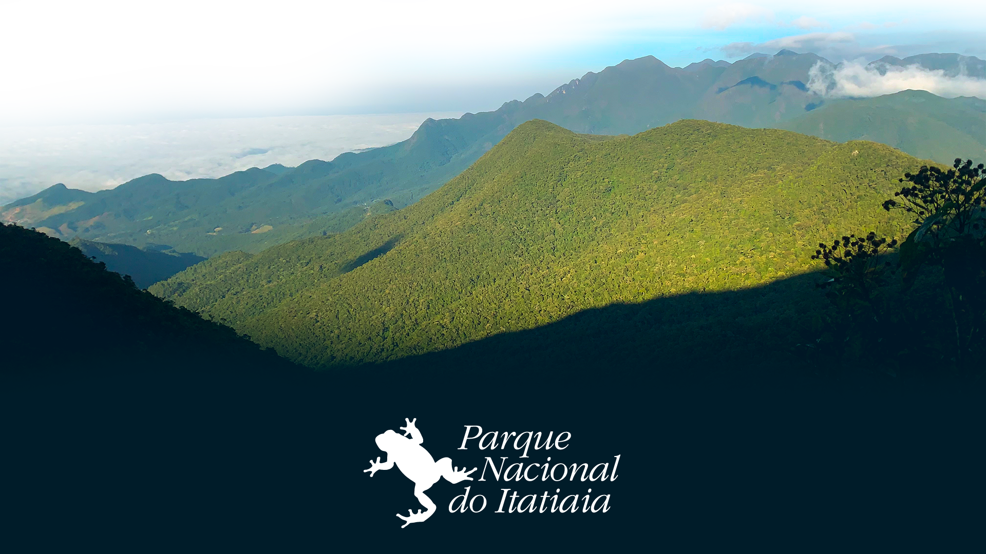
Created in 1937, the Itatiaia National Park is considered the 1st National Park of Brazil. Located in the Serra da Mantiqueira, the site includes the municipalities of Itatiaia and Resende in the State of Rio de Janeiro, as well as Bocaina de Minas and Itamonte in the State of Minas Gerais.
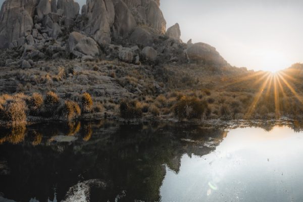
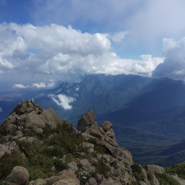
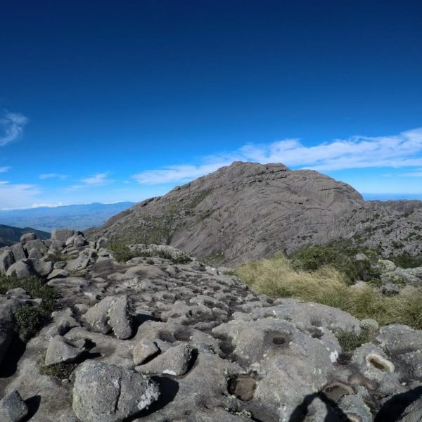
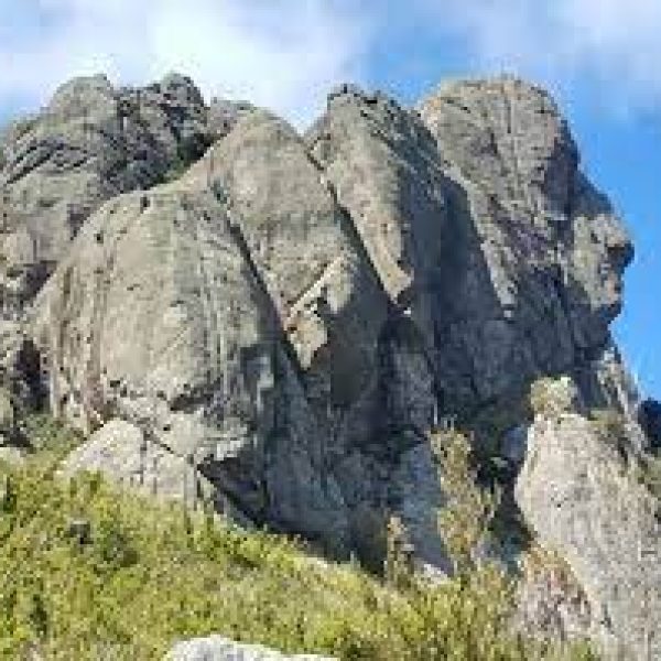
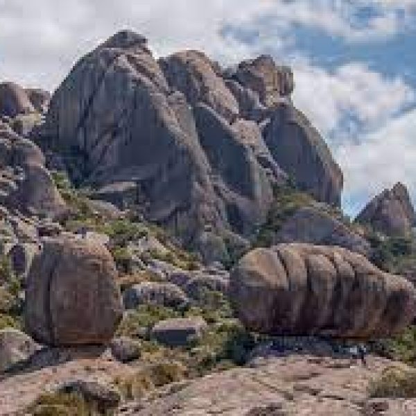
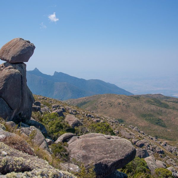
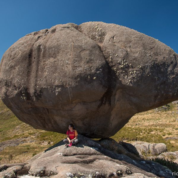
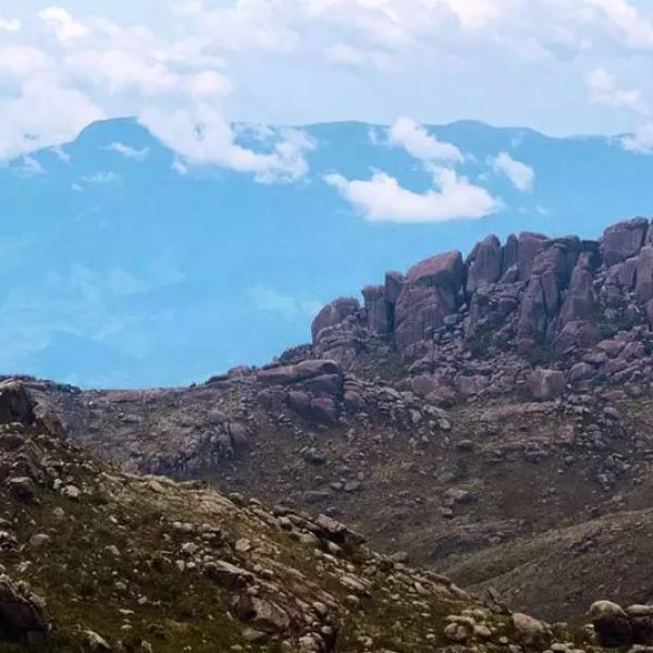
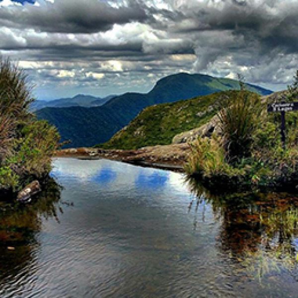
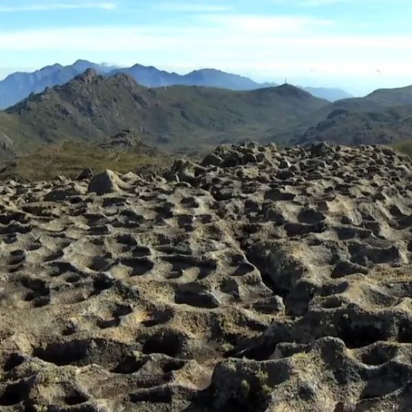
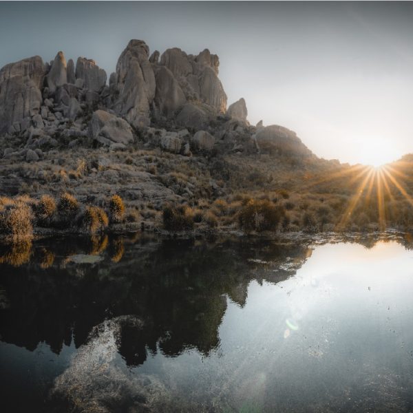
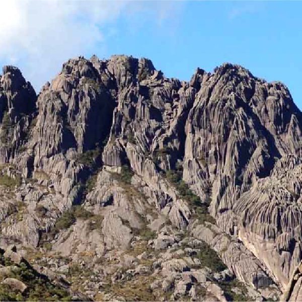
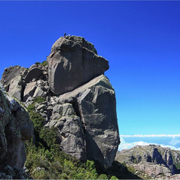
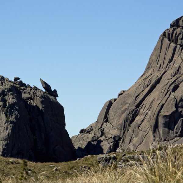
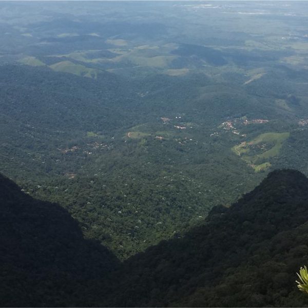
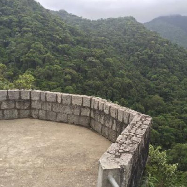
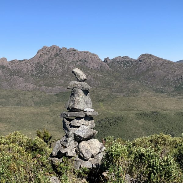
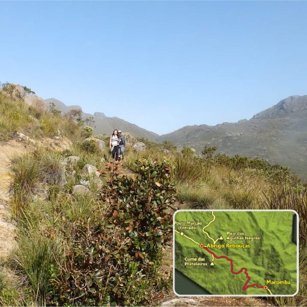
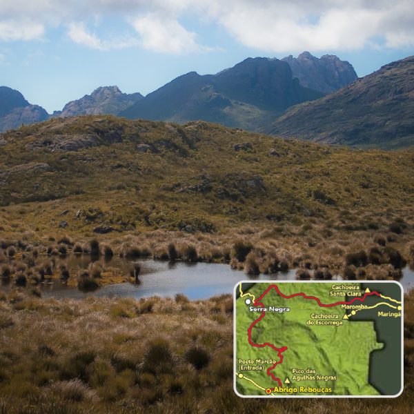
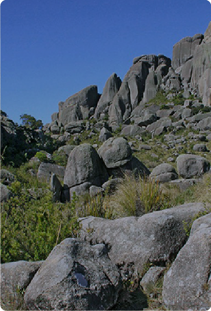
At its peak, Pico das Agulhas Negras, the area ranges between 600 and 2,791 meters, with a relief formed by mountains and several rocky elevations. In the region of the Itatiaia Plateau, or Upper Part, it is possible to find high-altitude fields, in addition to the suspended valleys, where many rivers begin.
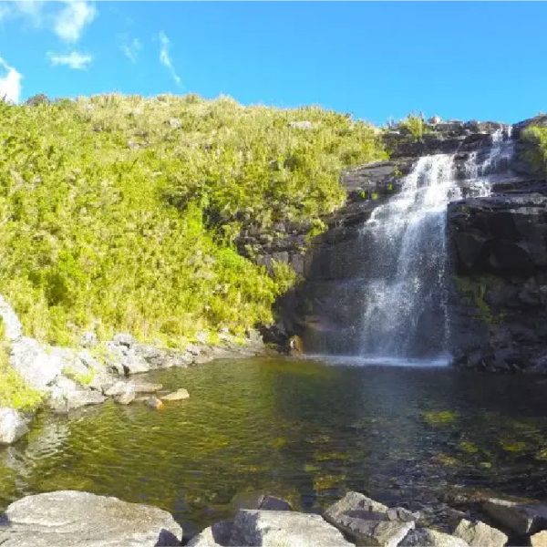
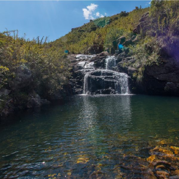
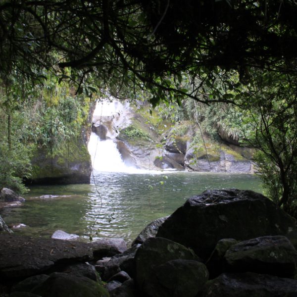
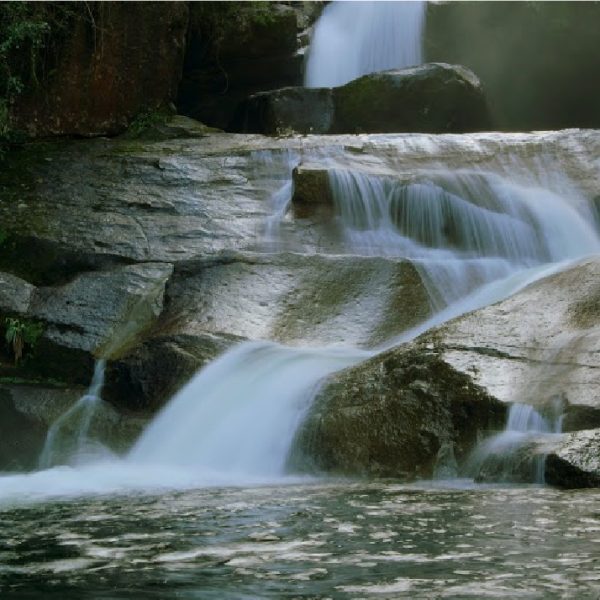
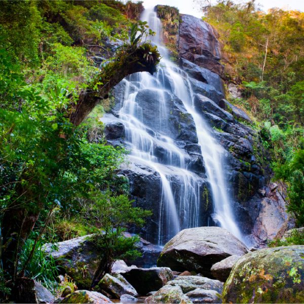
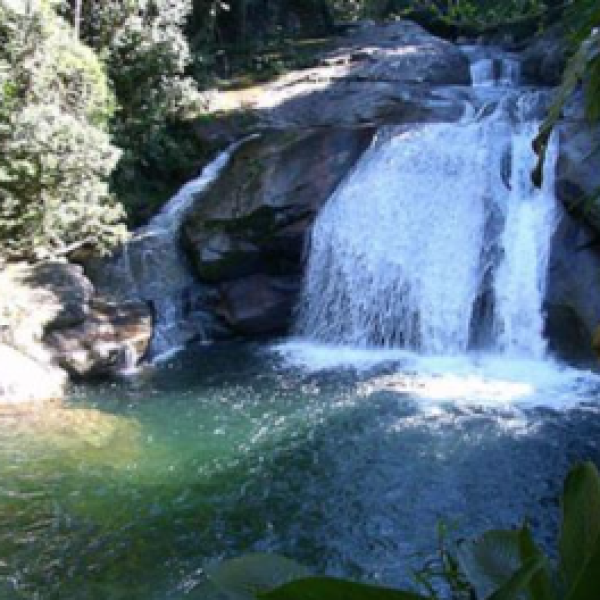
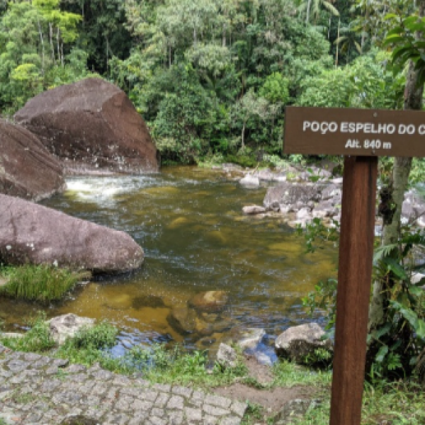
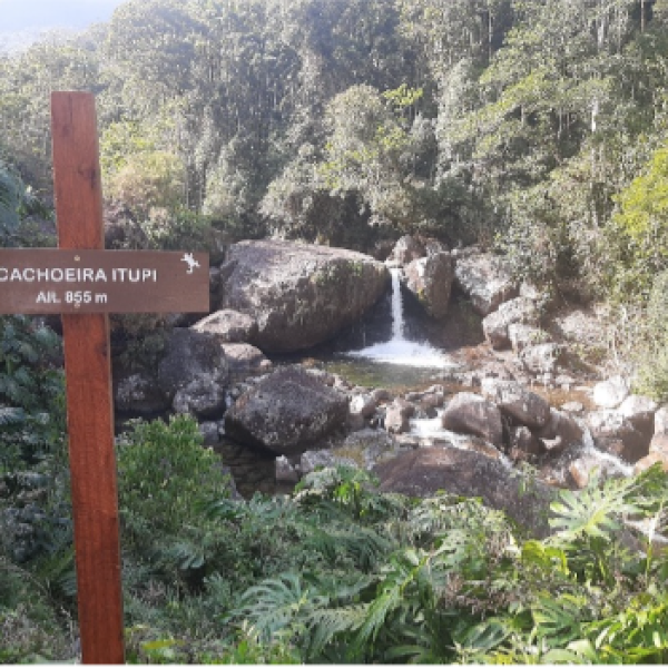
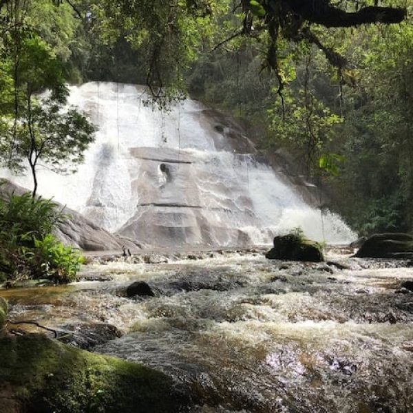
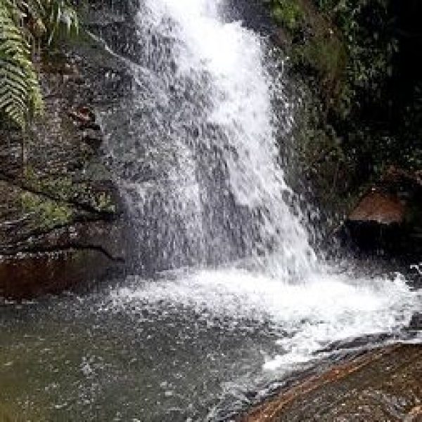
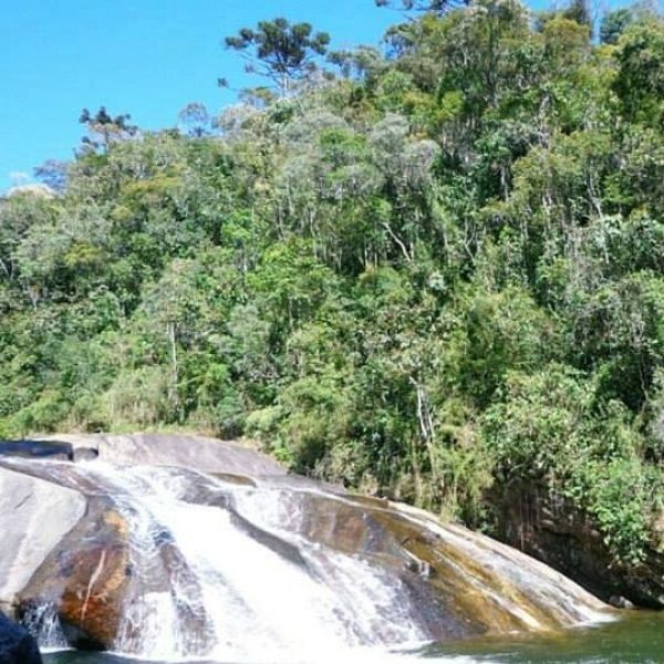
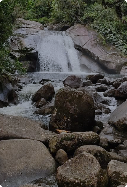
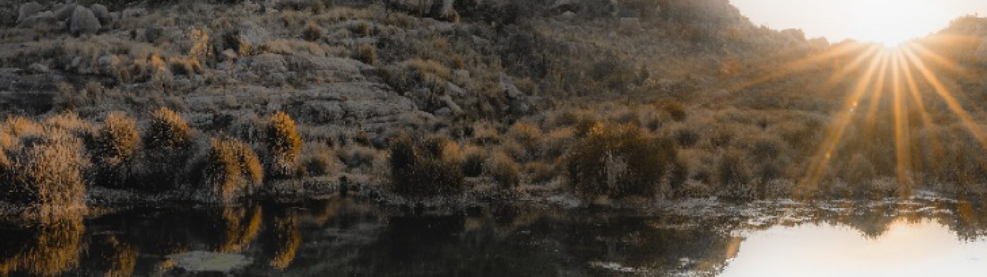
Finally, in the Lower Part, it is possible to see impressive vegetation composed of waterways and a series of spaces where visitors can cool themselves off.
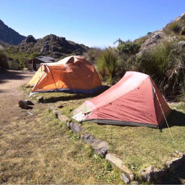
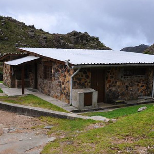
We developed the infrastructure of the Itatiaia National Park to promote maximum safety and convenience to tourists during their visits.
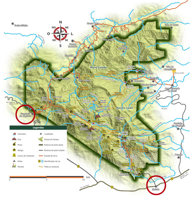
Do Rio de Janeiro ou São Paulo, o visitante deve seguir pela Rodovia Presidente Dutra (BR – 116) até Itatiaia (saída 318). Continuar por mais 5,5km pela BR – 485 até a portaria da Parte Baixa. Para a Parte Alta ou Planalto, utilizar a saída da Rodovia Presidente Dutra em Engenheiro Passos (saída 330 A), seguindo por mais 26km pela BR – 354 até a Garganta do Registro (divisa Minas Gerais – Rio de Janeiro). Após esse acesso são mais 14km de estrada de terra, pela Rodovia das Flores, até o Posto Marcão, que dá acesso aos principais atrativos da Parte Alta ou Planalto.
De Belo Horizonte, utilize a Rodovia Fernão Dias e a BR-381, passando por Caxambu e seguindo pela BR-354 até a Garganta do Registro para a Parte Alta ou Planalto. Para a Parte Baixa, siga pela Rodovia Presidente Dutra.
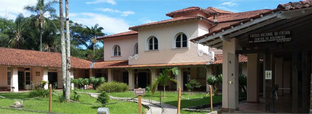
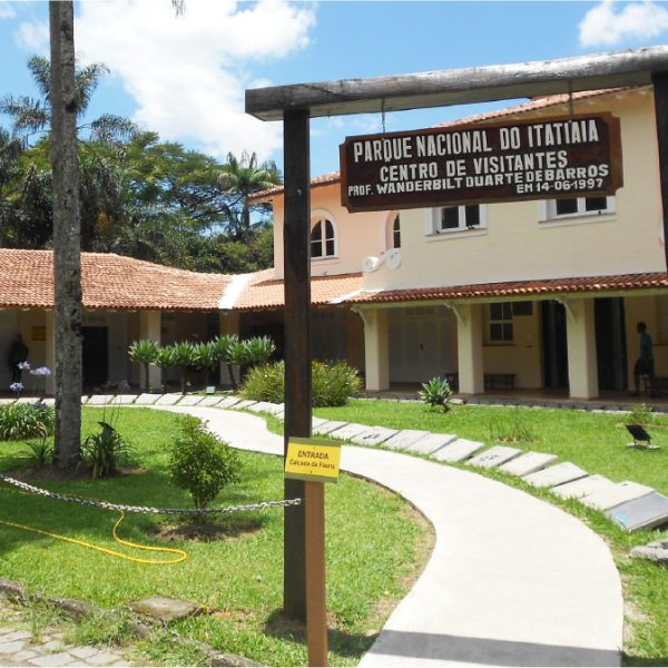
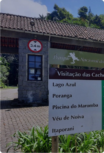
It’s a space for visitors who want to ask questions and learn more about the routes, trails, attractions, services, and security issues while visiting the park. The Visitor’s Center has a snack bar, souvenir shop, and exhibitions.
To ensure energy and stamina during the tour, it is vital to eat and hydrate as well.
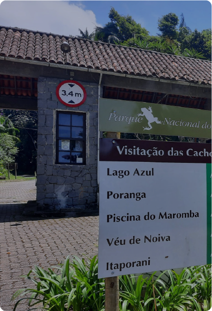
The park has in the Lower Part a restaurant, the Cafeteria Campo Belo, the Visitor Center, and the Lago Azul Cafeteria, which sells drinks and food for consumption on-site and during the walk along the trails and crossings.
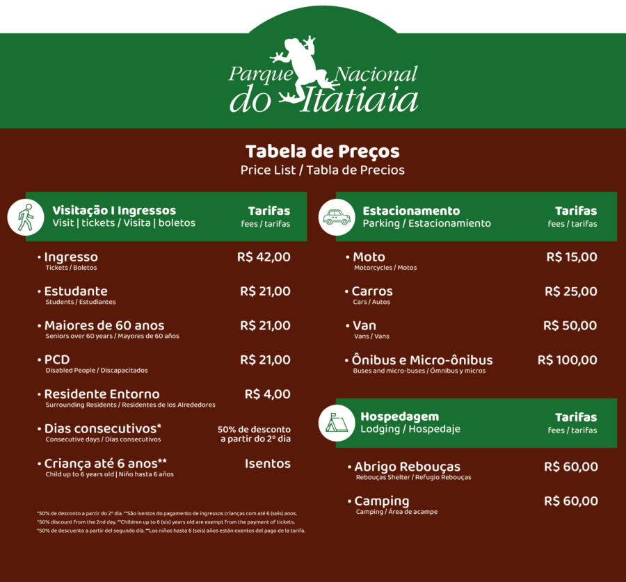
Space is available for passenger vehicles, motorcycles, vans, minibuses, and buses, according to the price list for each category.
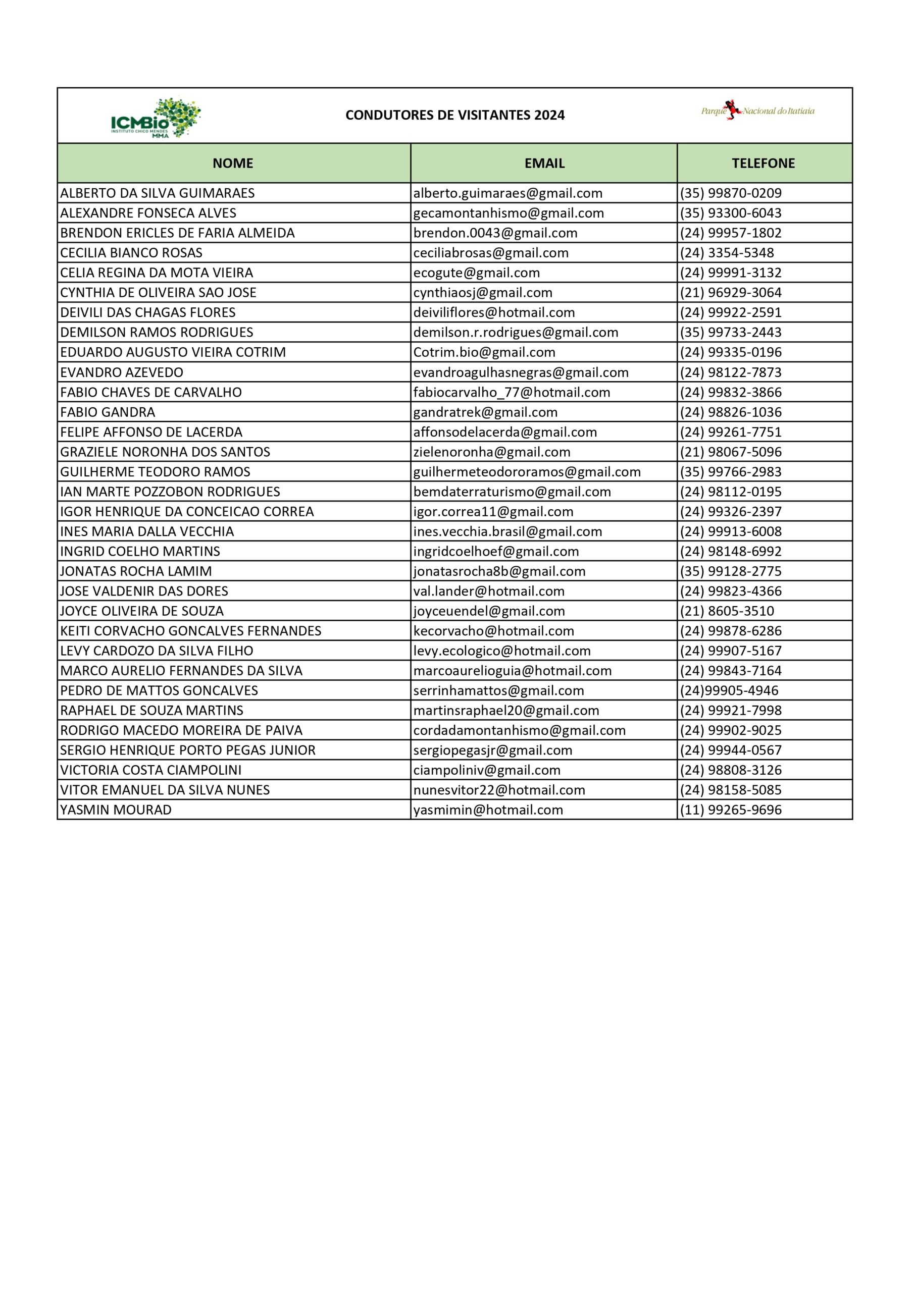
Itatiaia Nacional Park has a list of authorized guides, who are responsible for assisting tourists and ensuring the best experience during their visit.
Among their functions, we highlight: to ensure safety, to provide information, and to guide people about the best practices on site.
Hiring a guide is not mandatory but is recommended by our team.
It is an unforgettable experience amidst nature and beautiful landscapes.
• Difficulty: Medium
• Distance: 1,5km from Marcão Station
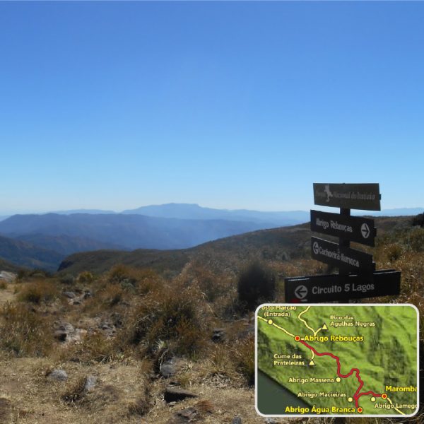
• Difficulty: Difficult
• Distance: 8 km from Rebouças Shelter
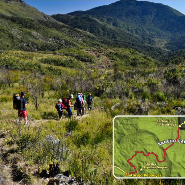
• Difficulty: Moderate
• Distance: 3 km from Rebouças Shelter
• Difficulty: Moderate
• Distance: 2.5 km from Rebouças Shelter
• Difficulty: Moderate
• Distance: 4 km from Rebouças Shelter
• Difficulty: Moderate
• Distance: 6.5 km from Rebouças Shelter
• Difficulty: Moderate
• Distance: 3 km from Marcão Station
• Difficulty: Moderate
• Distance: 200 meters from Marcão Station
• Difficulty: Difficult
• Distance: 2 km from Rebouças Shelter
• Difficulty: Difficult
• Duration: 3 h 30 min.
• Difficulty: Moderate at the base / Difficult at the summit
• Distance: 2.5 km from Rebouças Shelter (Prateleiras Base)
• Difficulty: Moderate on base / Difficult on the summits
• Distance: 1.5 km from Rebouças Shelter (Agulhas Base)
• Difficulty: Moderate
• Distance: 3 km from Marcão Station
• Difficulty: Easy
• Distance: 600 meters from Rebouças Shelter
• Difficulty: Moderate and difficult
• Distance: 3 km from Rebouças Shelter
• Difficulty: Easy
• Distance: 4 km by road from the Visitor Center.
• Difficulty: Easy
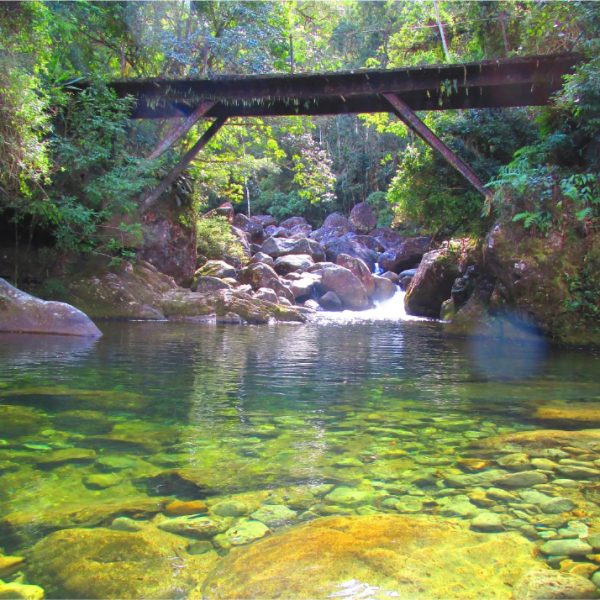
• Distance: 4 km of road from the Visitor Center. There is also a 640-meter trail, starting from
the Maromba Complex Bridge
• Difficulty: Easy
• Distance: 380-meter trail from the Maromba Complex bridge
*Attention! To take this route, complete the Responsibility Form at the park’s gate, the Visitor Center, or the Maromba Complex.
• Difficulty: Difficult
• Distance: 2.5 km, from the Visitor Center to the entrance and then a trail of 5.5 km
• Difficulty: Medium
• Distance: 1.5 km from the Visitor Center; there is also a 600-meter trail from the entrance until you reach the waterfall
• Difficulty: Easy
• Distance: 500 meters from the Visitor Center
• Difficulty: Easy
• Distance: 1.2 km from the Visitor Center and 700 meters from the Blue Lake
• Difficulty: Easy
• Distance: 1.4 km from the Visitor Center and 900 meters from the Blue Lake
• Difficulty: Easy
• Distance: 4.5 km from the entrance gate –access by car
• Difficulty: Easy
• Distance: 3.5 km from the entrance gate
• Difficulty: Easy
• Distance: 2.5 km from the entrance gate
• Difficulty: Easy
• Distance: 4.5 km from Praça do Escorrega
• Difficulty: Difficult
• Distance: 8 km from Praça do Escorrega
• Difficulty: Easy
• Distance: 300 meters from Praça do Escorrega
• Difficulty: Easy
• Distance: 50 meters from Praça do Escorrega
• Difficulty: Difficult
• Distance: 22 km from Rebouças Shelter / 1 or 2 days
• Difficulty: Difficult
• Distance: 4 hours from the Lower Part, 7 hours from the Upper Part
• Difficulty: Difficult
• Distance: 27 km from Rebouças Shelter / 2 days
• Difficulty: Difficult
• Distance: 32 km from Rebouças Shelter / 2 days
• Difficulty: Difficult
• Distance: 3 km from Marcão Station
• Difficulty: Easy
• Distance: 3 km from Marcão Station
Lower Part: from Rio de Janeiro or São Paulo, the visitor should take the Presidente Dutra Highway (BR-116) to Itatiaia (exit 318). Continue for another 5.5 km by BR-485 until the gatehouse.
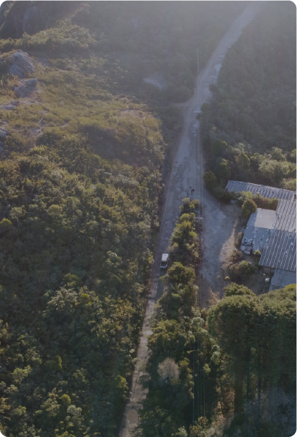
Upper Part or Plateau: take the exit from the Presidente Dutra Highway in Engenheiro Passos (exit 330 A), then drive another 26 km by BR-354 to Garganta do Registro (Minas Gerais-Rio de Janeiro border). After this access, 14 km more of dirt road, by the Rodovia das Flores, to the Marcão Station, which provides access to the main attractions of the Upper Part or Plateau.
Visconde de Mauá: coming from Rio de Janeiro or São Paulo, the visitor should take the Presidente Dutra Highway (BR-116) until exit 311 (Penedo direction), continue along the RJ-163 road for another 40 km until you reach Praça do Escorrega.
From Belo Horizonte, take the Fernão Dias Highway and the BR-381 highway, passing through Caxambu and following the BR-354 to Garganta do Registro for the Upper Part or Plateau. In the Lower Part or Visconde de Mauá, take the Presidente Dutra Highway.
Our commitment to the Itatiaia National Park
In 2023, Parquetur took over the concession for the Itatiaia National Park and began to
manage the public use of the park, providing visitor support services.
The contract provides a 25-year concession and a commitment to preserve the environmental
heritage and improve infrastructure.
Click here for the Itatiaia National Park Concession Contract.